Kamalgad , Panchgani
About Kamalgad
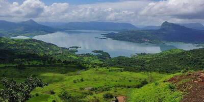
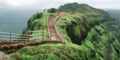
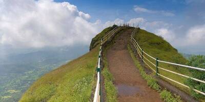
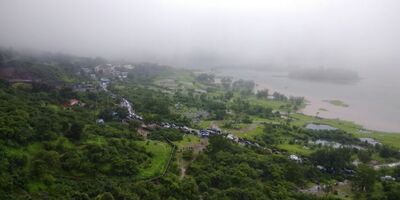
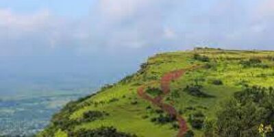
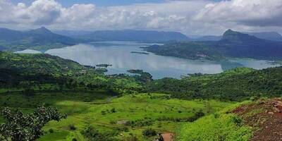
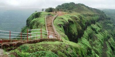
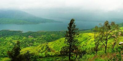
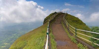
Kamalgad, or ‘lotus’ fort is perched precariously above the Krishna river valley. With views across the valley, it provides a strategic vantage point and important staging post for the valley below. It was taken over by the British in 1818. It’s surrounded by steep rocks. At a height of 4,400ft it’s reachable by scaling the rocky outcrop. Kamalgad offers fantastic views of the valley below.
Location & Places to Visit on Kamalgad Map
View destinations and attractions nearby Kamalgad, on an interactive map.
Freedom to make your own trip!
What you want, when you want and how you want.
Places to Visit near Kamalgad

Adventure
Imagicaa Amusement Theme Park, Maharashtra
0 km from Kamalgad - See map
Imagicaa, located near Khopoli in Maharashtra, is one of India’s premier entertainment destinations. This theme park, water park, and snow park...
Read more
Nature
Dhom Dam, Maharashtra
18.6 km from Kamalgad - See map
The Dhom Dam is located some 21km from the town of Panchgani. The dam is constructed from natural materials. Construction started in 1976 and the...
Read more
Adventure, Historical
Pandavgad Fort, Maharashtra
34.3 km from Kamalgad - See map
Lingering over a region of six acres, Pandavgad fort is around 10 kilometers far from the small village of Wai. It was erected by King Bhoj II...
Read more
Nature
Parsi Point, Maharashtra
36.6 km from Kamalgad - See map
Parsi Point is close to Sydney point. Parsi Point resides high above the Krishna river valley below. From here it is possible to view Krishna...
Read more
Wildlife
Sherbaug, Maharashtra
38.9 km from Kamalgad - See map
Sherbaug is the name given a theme park and resort in midst of a naturally formed valley. Playing host to a number of activities, it’s in...
Read more
Nature
Wai, Maharashtra
38.9 km from Kamalgad - See map
Only a short distance, 8km, from Panchgani lies the picturesque village of Wai. There are many mandirs, ghats and temples here. All in the setting...
Read more
Pilgrimage, Historical
Rajpuri Caves, Maharashtra
40 km from Kamalgad - See map
Around 9 kilometers away from Panchgani, Rajpuri Caves bordered by ponds have towering sacred value. It is believed that these caves were used by...
Read more
Nature
Sydney Point, Maharashtra
40.2 km from Kamalgad - See map
Looking down on the Krishna River below, Sydney point is located on a high cliff overlooking the Krishna valley below. It’s a great place to...
Read more
Nature
Table Land, Maharashtra
40.6 km from Kamalgad - See map
Table Land is a wide expanse of flat, volcanic rock covering 99 acres of land just on the outskirts of Panchgani. It is Asia’s second largest...
Read more
Devil's Kitchen, Maharashtra
41.6 km from Kamalgad - See map
Devil's Kitchen is located on the Table Land plateau behind the main town of Panchgani. Said to have been the preparation spot for the Pandavas...
Read more
Nature
Lingamala Waterfalls, Maharashtra
47.2 km from Kamalgad - See map
Lingamala Falls is about 6 kilometers away from Mahabhaleshwar, close to Panchgani. The cascade plummets from a height of 600 feet and its stream...
Read more
Nature
Mapro Gardens, Maharashtra
48.1 km from Kamalgad - See map
Panchgani and Mapro gardens play host to the ‘annual strawberry festival’ which is held in the month of March/April. 85% of the strawberries...
Read more


